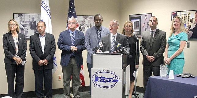
Hauppauge, NY - September 16, 2016 - The Long Island Commission for Aquifer Protection (LICAP) today officially launched its historic, GIS-based water quality mapping and database website known as WaterTraq.
The program, the first of its kind in New York State, will revolutionize the way public water providers track potential threats in the water supply and provide information to the public and
regulators. Vital information about drinking water quality will now be available to the public 24 hours a day at liaquifercommission.com.
WaterTraq combines interactive maps with water quality data to paint a clearer picture of the status of Long Island groundwater for health officials, industry professionals and the general public.
Users can search for contaminants and have results visually displayed by concentration range and location. Compounds can also be searched based on well depth, water district or location of a sample station. The user can search for either raw groundwater or the post-treatment water public water suppliers deliver to their customers.
“WaterTraq is an outstanding accomplishment and a valuable tool that allows us to share information with regulators and the general public at the click of a button,” Suffolk County Water Authority Chief Executive Officer and LICAP past Chairman Jeffrey W. Szabo said.
“It gives users the chance to see things from an island-wide perspective,” added SCWA Lead Hydrogeologist and Director of Strategic Initiatives Tyrand Fuller.
“The new WaterTraq GIS-based mapping initiative will help advance a critical regional approach to Long Island’s water resources,” said New York State Assemblyman Steve Englebright. “The Long Island Commission for Aquifer Protection is to be commended for their efforts to collect data from Long Island’s numerous water districts and integrate it into a dynamic tool that will surely become a model for other regions in the state and the nation.”
“Long Island is once again in the forefront of the effort to ensure clean, healthy drinking water,” said Suffolk County Legislator Bridget Fleming.
Stan Carey, Superintendent of the Massapequa Water District and Vice Chairman of LICAP, said the program will allow water professionals to “draw conclusions based on the data they see.”
WaterTraq will be used to help New York State’s new water quality rapid response team identify and respond quickly to drinking water issues.
“WaterTraq will be a vital tool that the Department of Environmental Conservation will utilize to continue efforts to improve and safeguard Long Island’s drinking water resources,” said DEC Regional Director Carrie Meek Gallagher. “We are excited for the launch of this program and eager to incorporate this new technology into New York State’s water programs.”
The Long Island Commission for Aquifer Protection is a bi-county entity formed to address both quality and quantity issues facing Long Island’s aquifer system and to advocate for a coordinated, regional approach to groundwater resources management.


