
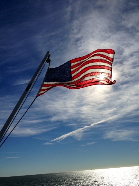
Flag on the Cross Sound Ferry - " John H" - waving proudly in the wind
Photo By : Joy Raines
Photo By : Joy Raines

Dock for Cross Sound Ferry - Orient Point
Photo By : Joy Raines
Photo By : Joy Raines

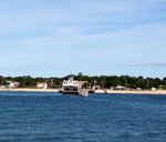
Cross Sound Ferry returning from New London, CT to Orient Point
Photo By : Joy Raines
Photo By : Joy Raines

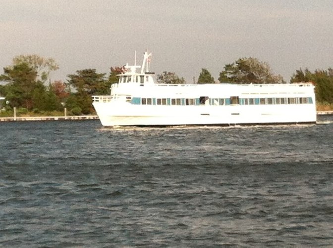
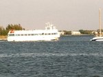
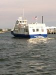
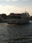
Long Island Ferry leaving Bay Shore Marina heading to Fire Island crossing the Great South Bay.
Photo By : LongIsland.com
Photo By : LongIsland.com
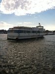
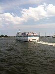
Ferry heading back from Fire Island crossing the Great South Bay and arriving in Bay Shore Marina
Photo By : LongIsland.com
Photo By : LongIsland.com
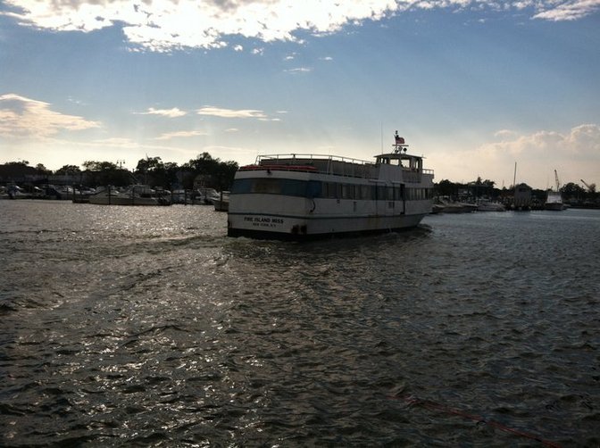
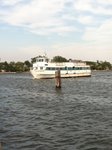
Fire Island Miss Ferry leaving Bay Shore Marina heading out into Great South Bay and Fire Island
Photo By : LongIsland.com
Photo By : LongIsland.com

Fire Island Miss Ferry leaving Bay Shore Marina heading out into Great South Bay and Fire Island
Photo By : LongIsland.com
Photo By : LongIsland.com

Fire Island Miss Ferry heading back from Great South Bay / Fire Island into the Bay Shore Marina.
Photo By : LongIsland.com
Photo By : LongIsland.com

Fire Island Miss Ferry heading back from Great South Bay / Fire Island into the Bay Shore Marina.
Photo By : LongIsland.com
Photo By : LongIsland.com

Fire Island Miss Ferry heading back from Great South Bay / Fire Island into the Bay Shore Marina.
Photo By : LongIsland.com
Photo By : LongIsland.com

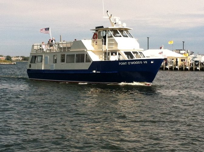
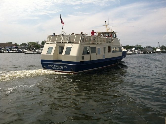
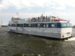
Point O'Woods VII Ferry returning from Fire Island to Bay Shore Marina
Photo By : LongIsland.com
Photo By : LongIsland.com
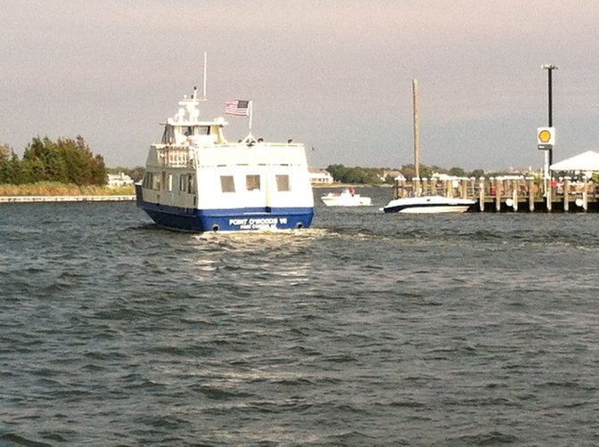
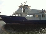
Point O'Woods VII Ferry heading out into Great South Bay from Bay Shore Marina to Fire Island.
Photo By : LongIsland.com
Photo By : LongIsland.com

Point O'Woods VII Ferry heading out into Great South Bay from Bay Shore Marina to Fire Island.
Photo By : LongIsland.com
Photo By : LongIsland.com

Point O'Woods VII Ferry heading out into Great South Bay from Bay Shore Marina to Fire Island.
Photo By : LongIsland.com
Photo By : LongIsland.com

Point O'Woods VII Ferry returning from Fire Island to Bay Shore Marina
Photo By : LongIsland.com
Photo By : LongIsland.com
Point O'Woods VII Ferry returning from Fire Island to Bay Shore Marina
Photo By : LongIsland.com
Photo By : LongIsland.com
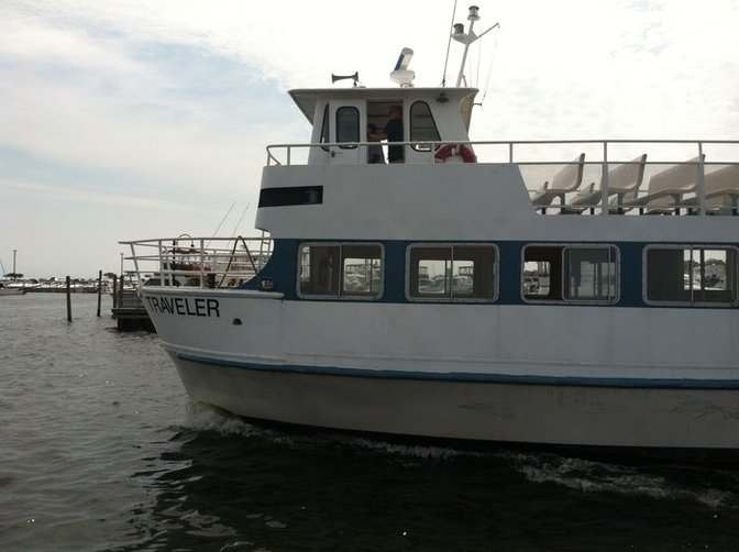
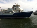
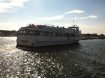
Traveler Ferry leaving Bay Shore marina heading towards Great South Bay and Fire Island.
Photo By : LongIsland.com
Photo By : LongIsland.com
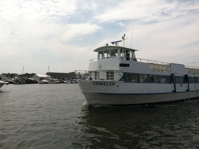
Traveler Ferry leaving Bay Shore marina heading towards Great South Bay and Fire Island.
Photo By : LongIsland.com
Photo By : LongIsland.com
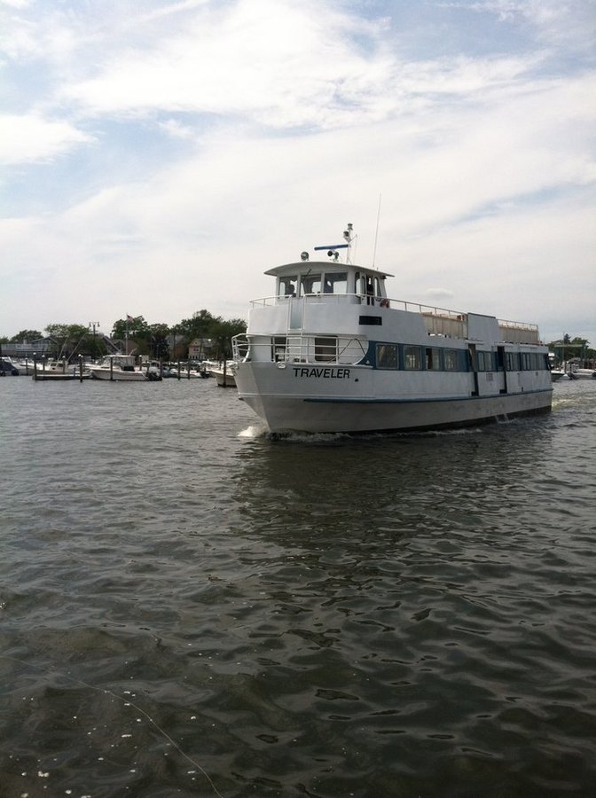
Traveler Ferry leaving Bay Shore marina heading towards Great South Bay and Fire Island.
Photo By : LongIsland.com
Photo By : LongIsland.com
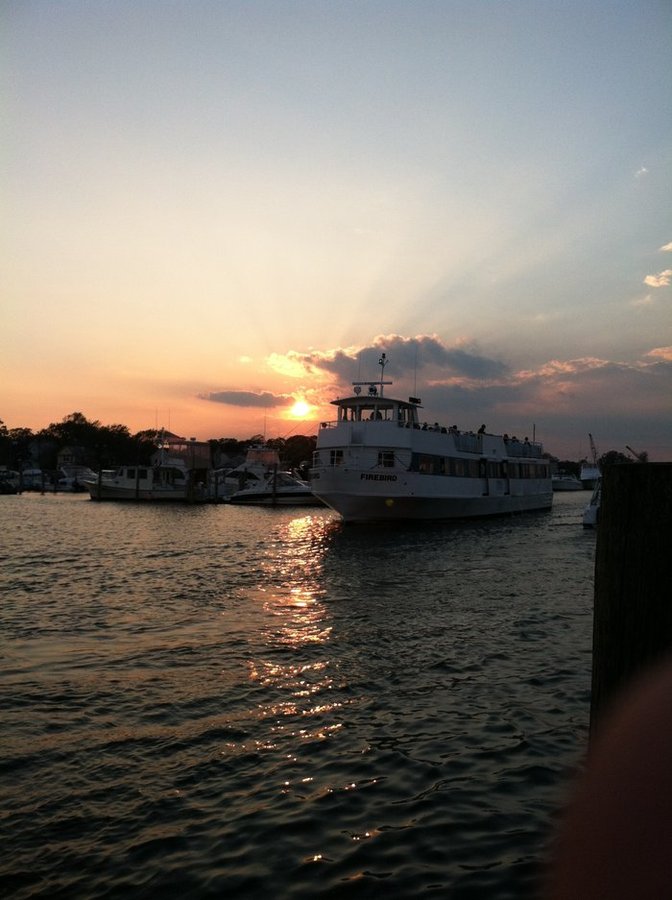
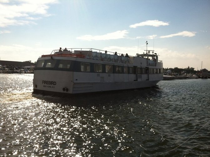
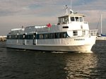
Fire island ferry Firebird with sunset in background in great south bay.
Photo By : LongIsland.com
Photo By : LongIsland.com
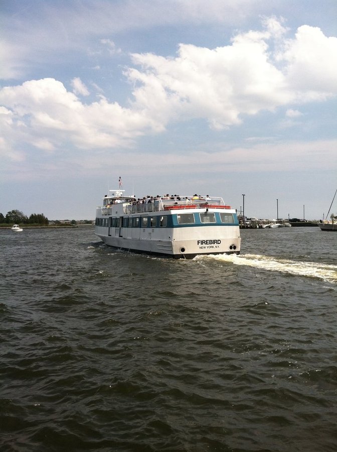
Fire island ferry Firebird
Photo By : LongIsland.com
Photo By : LongIsland.com

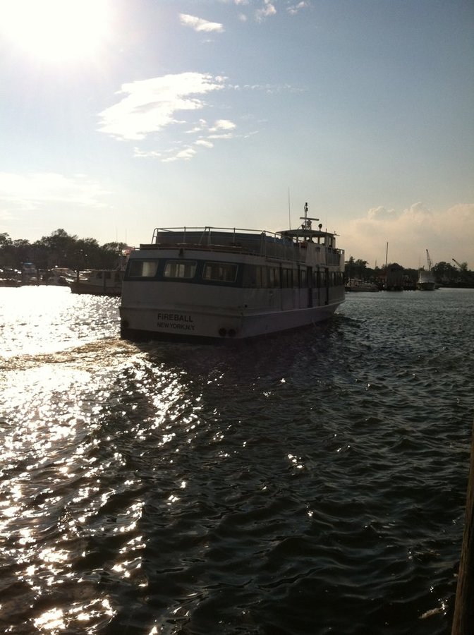
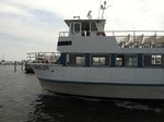
Fire island ferry Firebird back and side.
Photo By : LongIsland.com
Photo By : LongIsland.com

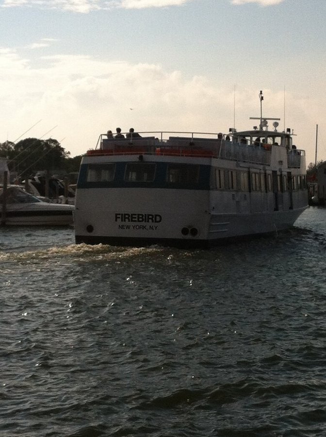
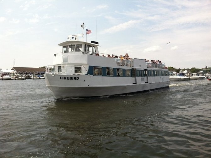
Fire island ferry Firebird front shot
Photo By : LongIsland.com
Photo By : LongIsland.com

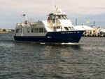
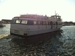
Fire island ferry Firebird heading to Fire Island.
Fire island ferry Firebird inside Bay Shore marina
Photo By : LongIsland.com
Photo By : LongIsland.com
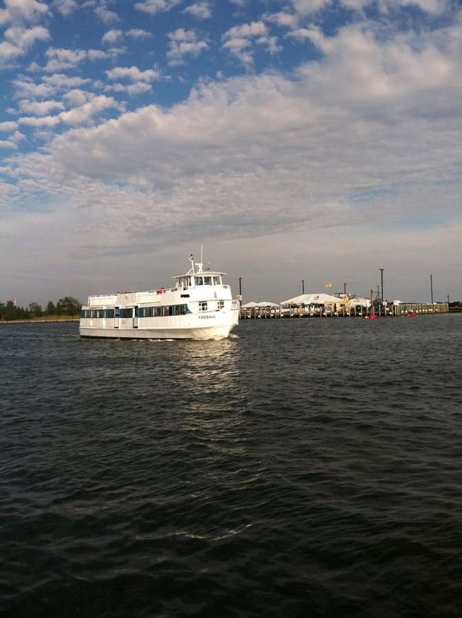
Fire island ferry Firebird view from Maple avenue dock in Bay Shore
Photo By : LongIsland.com
Photo By : LongIsland.com
Firebird fire island ferry leaving bay shore marina
Photo By : LongIsland.com
Photo By : LongIsland.com
The back of Fire island ferry Firebird

Side view of Fire island ferry Firebird heading out of Bay Shore Marina
Photo By : LongIsland.com
Photo By : LongIsland.com
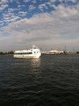
Fire island ferry Firebird out of Bay Shore Marina
Photo By : LongIsland.com
Photo By : LongIsland.com
Point O'Woods VII Ferry returning from Fire Island to Bay Shore Marina
Photo By : LongIsland.com
Photo By : LongIsland.com

Point O'Woods VII Ferry returning from Fire Island to Bay Shore Marina
Photo By : LongIsland.com
Photo By : LongIsland.com


Ferries
- Uploaded 11 years, 8 months ago
- 35776 times
Photos of Ferries around Long Island
Add your comment...
 Loading...
-
Winter Guide 2020
Winter Guide 2020 -
New York Islanders 2013-14 Season
Pictures of Islanders games from the 2013-14 season. -
Nearby NYC
Photos throughout New York City -
Nassau County Art Museum
Pictures taken at the Nassau County Art Museum -
2014-2015 Long Island Holiday Photos
There is always tons of stuff to do here on Long Island during the...
- Things To Do
- Places To Go
- Events
- Museums
- Vineyards
- Restaurants
- Nightlife
- Beaches
Copyright © 1996-2017 LongIsland.com & Long Island Media, Inc. All rights reserved.